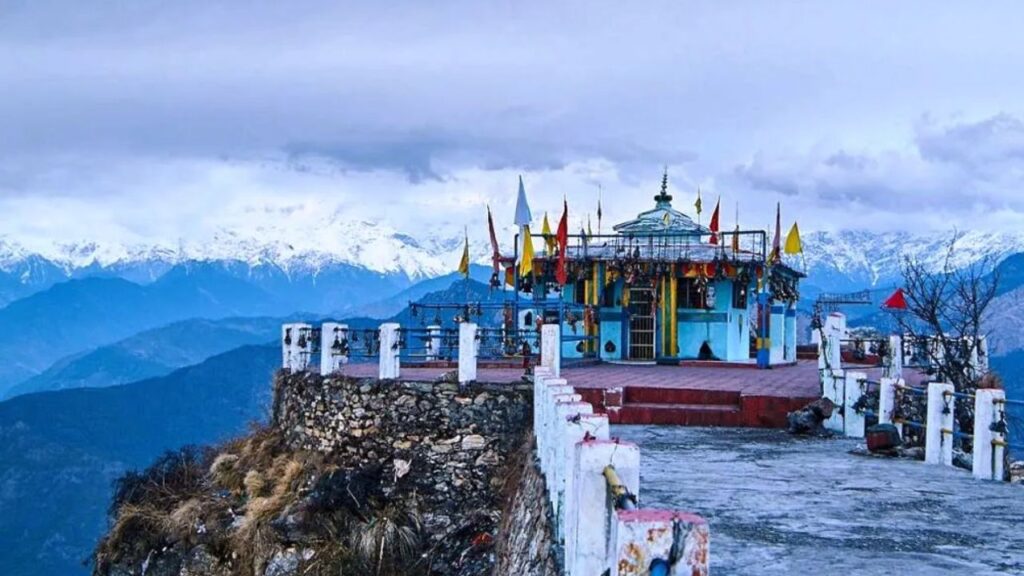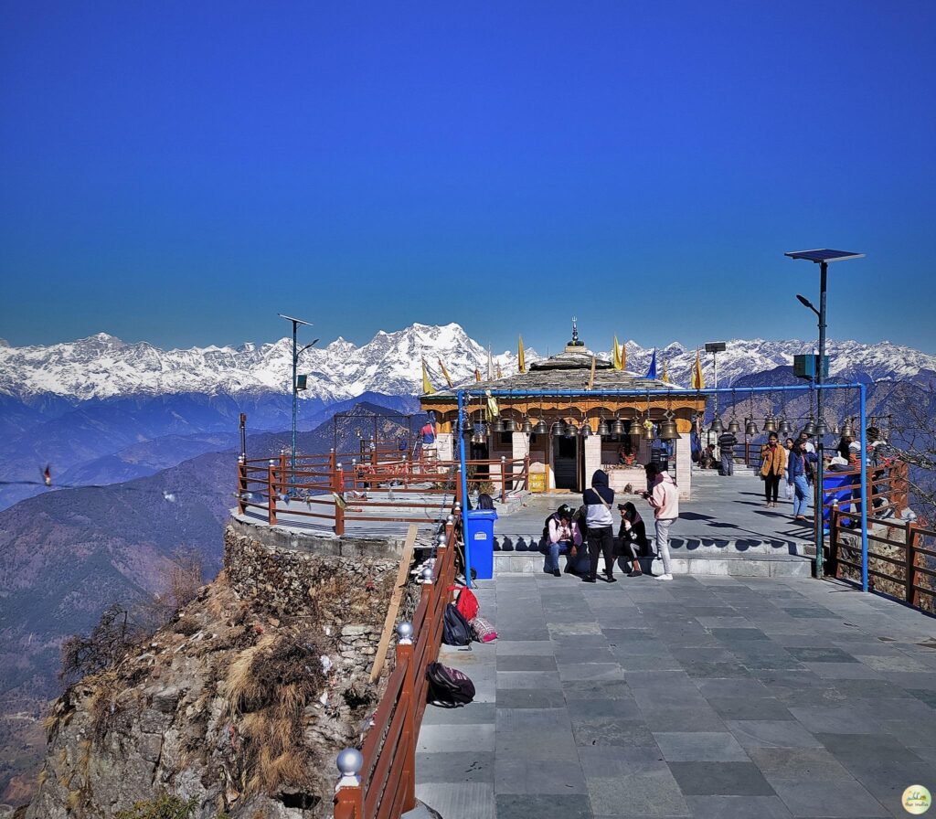

Every March, a narrow hill path above Tanakpur fills with thousands of bare feet, chanting the same four words: “Jai Maa Purnagiri.” That’s the Chaitra Navratri rush, and it’s the single biggest clue to what this temple means in Uttarakhand’s spiritual map. Purnagiri isn’t a roadside shrine you stumble on. It’s a destination people plan a trip around.
Perched above the Sharda and Kali rivers in Champawat district, close enough to Nepal that pilgrims can spot villages across the border, Purnagiri Temple draws crowds for reasons that go well beyond scenery. Here’s what the place actually is, how the legend behind it goes, and what a visit involves.
What Makes Purnagiri a Shakti Peeth
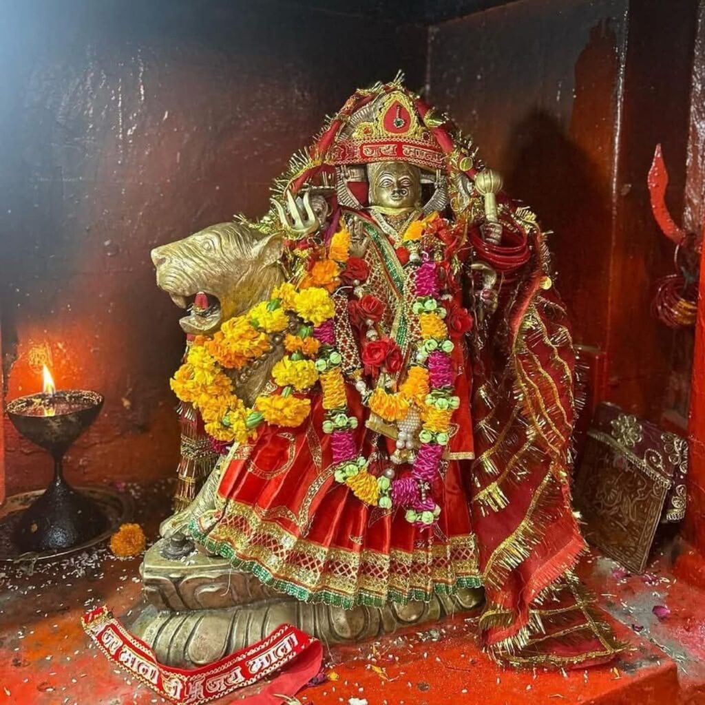
In Hindu tradition, a Shakti Peeth marks a spot where part of the goddess Sati’s body is believed to have fallen after her self-immolation at her father Daksha’s yagna. Grief-stricken, Shiva carried her body across the heavens in the Tandava dance; Vishnu, trying to calm the destruction, cut the body apart with his Sudarshan Chakra. Wherever a fragment landed, a Shakti Peeth was said to rise.
Purnagiri marks the spot linked to Sati’s navel – hence the alternate name “Punyagiri.” Depending on which tradition you follow, it’s counted among the 51 principal Shakti Peeths or, in some lists, among 108 Siddha Peeths (a broader category of powerful goddess sites). Both classifications appear regularly enough in temple literature that either is defensible; don’t be surprised to see both used.
The temple itself has a more traceable origin story. According to local tradition, in 1632 a merchant named Chandra Tiwari, travelling from Gujarat, took shelter with King Gyan Chand of the Kumaon kingdom. The goddess is said to have appeared to him in a dream, asking that a shrine be built on the peak now known as Purnagiri (or Annapurna) hill. He built it – and pilgrims have been climbing that hill ever since.
Where Exactly Is It, and How High Up?
The temple sits on a hilltop in Champawat district, roughly 20 km from the town of Tanakpur, overlooking the confluence area of the Kali (Sharda) River near the India-Nepal border.
Altitude is where sources start to disagree – not by a little, either. Here’s the spread:
| Source | Altitude claim |
|---|---|
| Official Champawat district site | ~3,000 feet |
| Wikipedia | 910 m (2,986 ft) |
| Several travel blogs | “3,000 meters” (likely a unit error, given the above) |
| A smaller number of sites | 5,500 feet |
The 3,000-feet figure – matched almost exactly by Wikipedia’s 910-meter listing – comes from the official district government source, so that’s the number worth trusting. The “3,000 meters” claim floating around several blogs would put Purnagiri roughly at the height of a mid-range Himalayan hill station, which doesn’t square with photos or trek descriptions of the climb. Likely a meters/feet mix-up that got copied from site to site. Worth remembering next time a “fact” looks suspiciously round.
How to Reach Purnagiri Temple
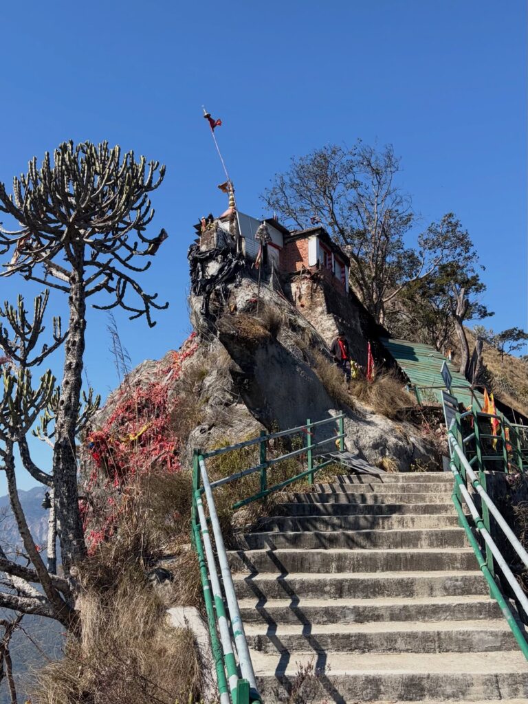
Getting there happens in two stages: a drive, then a climb.
By road to Tanakpur. Tanakpur is well connected by direct bus from Delhi, Lucknow, Kanpur, Agra, and Dehradun, and it has its own railway station, though the nearest major rail junction is Kathgodam, about 95 km away. By road, Delhi to Tanakpur runs roughly 330 km and takes 8–9 hours.
From Tanakpur to the temple. A motorable road covers most of the distance – around 17–20 km depending on the source – up to a point called Thulligad or Tunyas. From there, it’s a trek of about 3 km, mostly stone steps, through forest, to reach the temple. Some older write-ups mention a longer 500-step climb via a slightly different route; expect the exact step count to vary by which trailhead you start from.
A word on the ropeway some searches turn up: the Uttarakhand government approved and laid the foundation for a ropeway project years back, and news reports as recently as 2024 mentioned renewed construction timelines. As of the most recent coverage available, it hasn’t been confirmed operational – worth checking current status locally, or with the district tourism office, before counting on it as an option.
Nearest airport: Pantnagar, cited at distances ranging from roughly 160 to 206 km depending on the source, connected to Delhi by a handful of weekly flights.
Best Time to Visit
The temple stays open and accessible year-round. But if there’s one window locals point to, it’s Chaitra Navratri – usually falling in March or April – when a month-long mela transforms the hill. Special transport, temporary shops, and extra facilities get set up specifically for the crowds, and the temple reportedly stays open through the night during the peak days. Some sources also mention Ashwin Navratri (the autumn one) as a secondary busy period, though nowhere near the scale of Chaitra.
Outside festival season, the climb is quieter, cooler in the mornings, and probably a better fit if the idea of trekking alongside thousands of pilgrims sounds like more chaos than devotion.
Nearby Stops Worth Knowing About
Pilgrims commonly pair the Purnagiri trip with a visit to the Siddha Baba Temple, said to be an essential stop either before or after Purnagiri darshan for the pilgrimage to feel complete. Along the trek route itself, smaller shrines – a Kali temple, the Purnagiri Charan Mandir near the starting point, and the Bhairon Baba temple – mark stages of the climb. None of them require a detour; they sit more or less on the path.
A Quick Note on Practical Details
There’s no entry fee to visit Purnagiri Temple. Accommodation options thin out considerably outside Tanakpur itself – mostly guest houses and budget hotels – and during the Navratri mela, booking ahead isn’t optional so much as necessary, given how quickly rooms fill.
One thing this guide won’t do is invent a “best route” or a definitive step count where the sources genuinely conflict. Distances quoted for the same stretch of road range from 17 km to 24 km depending on which agency measured it and from where. If precision matters for your trip planning, a call to the Champawat tourism office or a recent trip report from a Facebook pilgrim group will beat any single blog’s number – this one included.

Travel Writer | Founder of Welcome Uttarakhand
Amit Negi has been exploring Uttarakhand’s temples, trekking routes, hill stations, and hidden villages for several years. Through Welcome Uttarakhand, he shares practical travel guides, local insights, and itinerary tips to help visitors plan memorable trips across the state.